Navigating Campuses with Smart Indoor Map

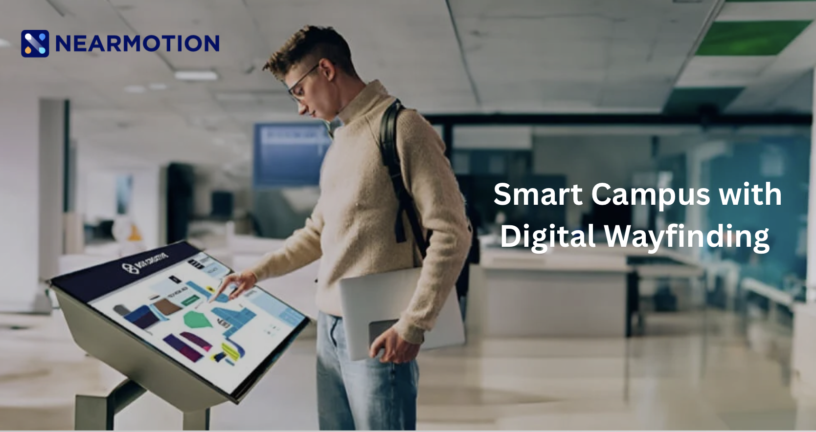
In today's competitive landscape, universities are constantly seeking ways to enhance the student, staff, and visitor experience. A sprawling campus, with its maze of lecture halls, administrative buildings, libraries, and student facilities, can often feel overwhelming, especially for new students or guests. This is where Smart Indoor Maps step in, transforming complex physical spaces into intuitive, digitally navigable environments.
The Challenge of the Complex Campus
Traditional navigation on large university campuses often relies on static paper maps or confusing, hard-to-find signage. This reality creates significant friction points. New or even returning students frequently waste precious time wandering, leading to stress, missed appointments, and late arrivals to classes. For those with mobility impairments, finding accessible routes—elevators, ramps, and accessible entrances—can be a significant and often disheartening challenge, relying on outdated or non-specific information. Furthermore, staff and students struggle to quickly locate available resources like free study rooms, specific labs, or communal equipment, hampering productivity. In critical situations, such as an emergency, the inability to quickly identify the nearest exit or communicate a precise indoor location to first responders can lead to dangerous delays. Finally, a poor navigation experience leaves a negative impression on prospective students and visiting parents or alumni, negatively impacting the university's progressive image.
The Smart Solution: Precision and Clarity
Smart Indoor Maps, often integrated into a university's existing mobile application or web portal, represent the next evolution in wayfinding. They use a combination of technologies like Wi-Fi, Bluetooth Low Energy (BLE) beacons, and dedicated sensors to provide precise, turn-by-turn wayfinding even inside multi-story buildings—achieving a level of accuracy and continuity that standard GPS simply cannot.
Key Use Cases for University Campuses
Smart Indoor Maps go far beyond simple blue-dot navigation; they enable a suite of efficiency and experience-boosting features tailored for higher education.
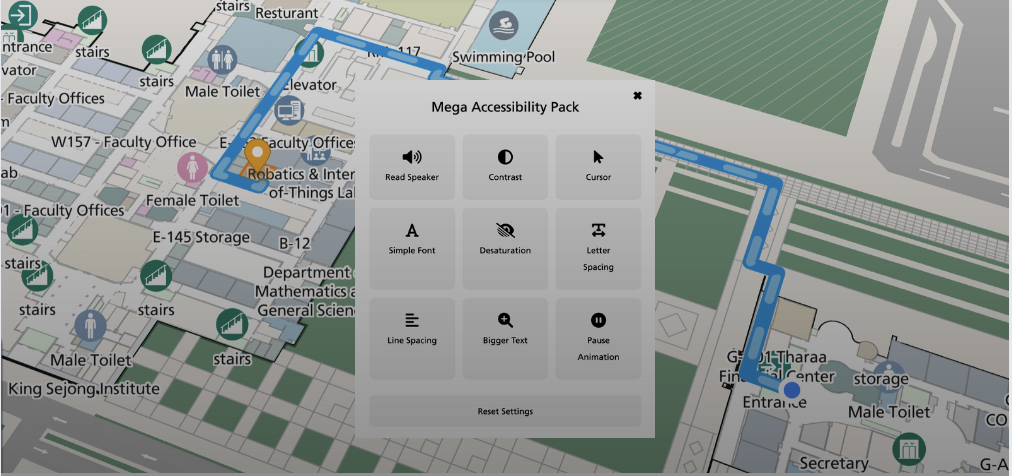
One of the most immediate benefits is Seamless Indoor-Outdoor Wayfinding. This provides continuous, uninterrupted directions, guiding a student from any outdoor point on campus, such as a bus stop or parking lot, directly to a specific room number inside a distant lecture hall.
Crucially, these systems offer Advanced Accessibility Routing. This capability is fundamental to an inclusive campus experience, as it allows users to calculate routes that prioritize ramps, elevators, and accessible entrances, avoiding stairs and other obstacles.
For resource management, the technology is a game-changer. Users can access Real-Time Resource Location, searching for and instantly locating available resources. Students can find and even reserve a free study room, a computer in a public lab, or bookable equipment, with map overlays often using color-coding to show live occupancy.
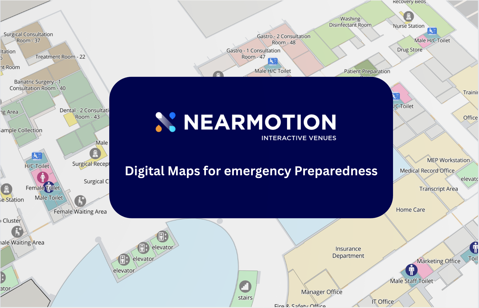
In a crisis, the system provides Emergency Wayfinding, guiding users to the nearest emergency exit or assembly point during a campus alert. Furthermore, it provides security and first responders with real-time indoor location data for faster and more targeted response.
Finally, for operational teams, the maps enable Facility Management and Asset Tracking. Facilities staff can visualize utility infrastructure, track high-value assets like specialized lab equipment on the map, and optimize maintenance and cleaning routes for peak efficiency.
Technical & Operational Advantages
Implementing a smart indoor mapping solution delivers significant operational returns for university administration. Facility managers gain access to data-driven decisions through heatmap analytics on building traffic and usage patterns. This data is vital for optimizing space utilization, allocating cleaning and maintenance resources efficiently, and justifying future capital improvements.
Operationally, the core mapping platform serves as a future-proof infrastructure for future Smart Campus initiatives. It is designed to easily integrate with timetable systems, room booking software, and the data feeds from Internet of Things (IoT) sensors. Furthermore, the content management system is often user-friendly, allowing university staff to easily update the maps to reflect temporary closures, new Points of Interest (POIs), or layout changes without requiring constant technical intervention, ensuring all map information is accurate and current.
Elevating the Educational Journey
In an environment focused on learning, teaching, and research, removing the friction and anxiety of navigation is a powerful tool. Smart Indoor Maps reduce student stress, improve punctuality, and free up staff from repeatedly giving directions, allowing everyone to focus on their primary mission. They signal a university's commitment to adopting modern technology that prioritizes safety, efficiency, and inclusion.
See How Smart Indoor Maps can revolutionize your campus experience. Request a demo today and step into the future of campus navigation.
Featured Success Stories
See how businesses like yours are leveraging Nearmotion to createimpactful indoor experiences.

Send Us a Message
Fill out the form below, and our team will get back to you shortly.


Find Your Perfect Solution
Ready to transform your retail space? NEARMOTION offers tailored solutions. Discuss with an expert or start building your map for free.

%20(1).png)


